Geological & Structural Modeling
Understand subsurface geology, characterize reservoirs, and support development decisions.
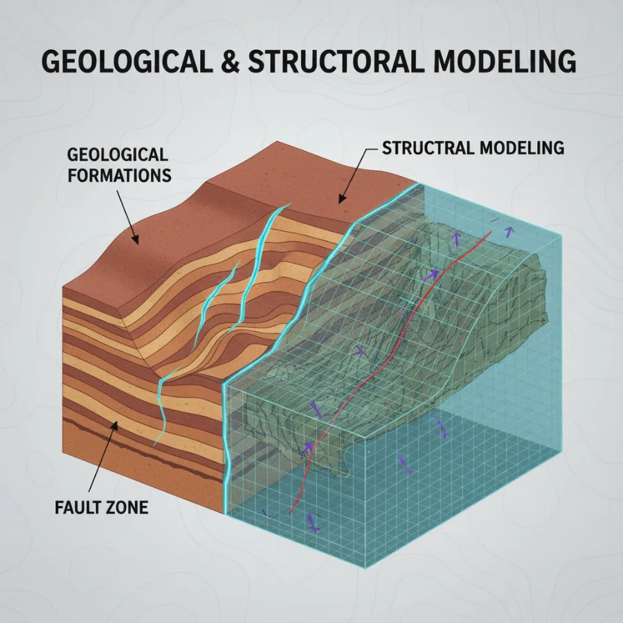
Structural Modeling
Map faults and geological layers in 3D.
Geological Modeling
Build integrated 3D models of subsurface geology.
Reservoir Modeling
Model rock types and reservoir properties.
Decision Support
Estimate hydrocarbon volumes and support development planning.
Core Features
Data Integration
Seismic, well, and geological data combined into a single coherent framework.
Structural Modeling
3D faults and horizons defining the subsurface architecture.
Petrophysical Modeling
Petrophysical calculation & interpretation (Porosity, saturation & net pay)
Geological Modeling
Consistent static models integrating structure and stratigraphy.
Facies & Properties
Facies Distribution and Petrophysical properties modeling.
Volumetrics
STOIIP / GIIP estimation integrating structure, facies, petrophysics, and uncertainty ranges.
Foundation Package
Data Inventory & QC
Review, organize, and quality-check all seismic and well data.
Seismic Interpretation (2D, 3D & 4D)
Interpretation of seismic data to identify key horizons, faults, and structural features.
Maps & Sections
Key structural, facies, and property maps and cross-sections.
Report & Knowledge Transfer
Technical report documenting methodology, assumptions, results and uncertainties, reviewed with your team. How we work →
FAQ
Frequently asked questions
Clear answers to common questions about our geological and structural modeling services.
Ask our teamWe deliver integrated geological and structural modeling services, including seismic interpretation, fault and horizon modeling, facies and petrophysical modeling, and volumetric assessment.
Typical inputs include seismic data (2D/3D), well data (logs, tops, tests), velocity models, and existing interpretations. We also perform data inventory and QC as part of the project.
Deliverables include 3D static models, structural and property maps, cross-sections, volumetric estimates (STOIIP/GIIP), and a detailed technical report.
Yes. Our static models are built to be simulation-ready and support field development planning, well placement, and reservoir studies.
Yes. Each project includes model review sessions and knowledge transfer to ensure full understanding and effective use of the results.
18+ geological & structural models delivered across clastic and carbonate systems
Regional to field-scale models supporting exploration, appraisal, and development
Structural uncertainty reduced through integrated seismic-well workflows